
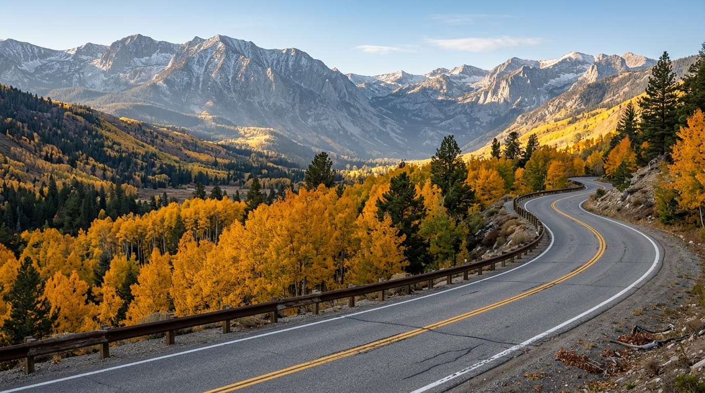
Alpine County fall road closures in 2026 are an important consideration for travelers planning scenic drives through California’s Sierra Nevada mountains. October brings golden aspens, cooler temperatures, quieter highways, and beautiful mountain scenery. However, the same seasonal changes can also introduce snow, icy pavement, and sudden travel restrictions.
Visitors often plan trips around Ebbetts Pass, Monitor Pass, Markleeville, and other high-country destinations. These areas offer memorable scenery, but mountain roads can change quickly when storms arrive.
According to the Alpine County Road Department, high-country roads may close without advance notice. Caltrans also manages seasonal access on important state highways, including Ebbetts Pass and Monitor Pass.
Before driving into the mountains, travelers should understand where to check road conditions, what chain controls mean, and how to prepare an alternative route.
This guide explains the key road concerns for fall 2026 and shares practical steps for safer mountain travel.
Which Alpine County Roads May Close During Fall 2026?
Alpine County contains several mountain routes that climb through forests, valleys, and exposed high-elevation terrain. Weather conditions can differ considerably between these locations.
A sunny afternoon in Markleeville does not guarantee dry pavement at a nearby mountain pass. Higher elevations may experience freezing temperatures or snowfall while lower communities remain relatively mild.
For that reason, travelers should check individual road conditions instead of relying on a general weather forecast for the county.
Ebbetts Pass and Monitor Pass seasonal closure risks
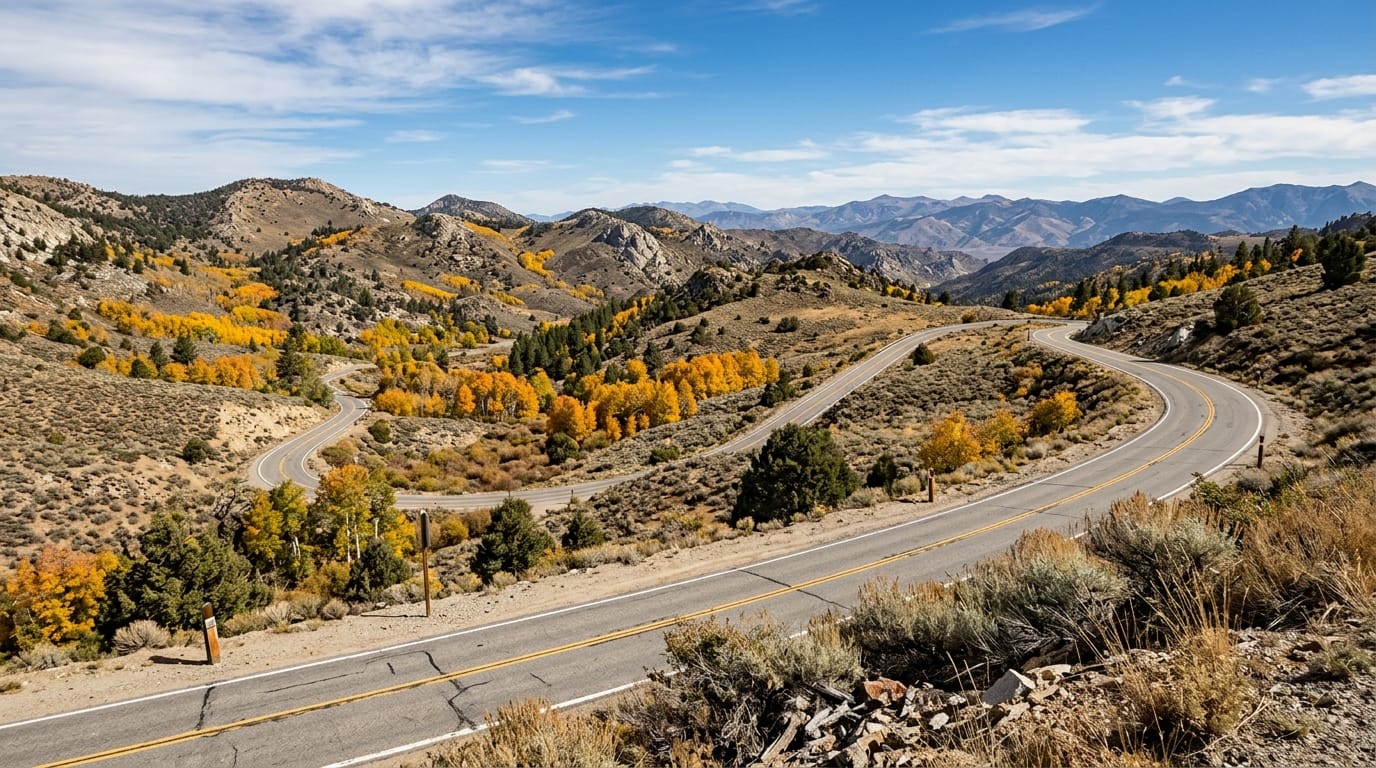
Ebbetts Pass carries State Route 4 through dramatic Sierra Nevada scenery. The route includes narrow stretches, steep grades, and mountain terrain that can become difficult during winter weather.
Caltrans reopened Ebbetts Pass for the 2026 season on May 6. However, that spring reopening does not guarantee continuous access through late autumn.
Snowstorms, freezing conditions, falling debris, and maintenance needs may affect travel later in the year.
Monitor Pass follows State Route 89 and provides another scenic connection through Alpine County. Caltrans reopened the pass on March 5, 2026, after favorable conditions allowed an early seasonal opening.
Both routes remain subject to changing weather and official highway restrictions.
Why Ebbetts Pass can close before travelers expect
Ebbetts Pass reaches high mountain elevations, where storms can bring snow well before winter officially begins. Heavy snow is not the only concern. Ice, fallen trees, and limited visibility can also affect safe travel.
Caltrans maintenance crews must evaluate road conditions before allowing traffic to use the pass.
Travelers should never assume a road remains open simply because it was accessible during a previous October.
Our Ebbetts Pass Scenic Byway Guide offers route inspiration for visitors planning a drive when conditions permit.
Before departure, confirm current access through Caltrans rather than relying only on travel photos or older trip reports.
What to check before driving Monitor Pass
Monitor Pass attracts drivers who want open mountain scenery and dramatic changes in elevation. However, exposed terrain can bring strong winds, rapid temperature changes, and winter precipitation.
Caltrans identifies Monitor Pass as a seasonal route. The agency closes sections when winter conditions make continued travel unsafe.
Before leaving, check whether State Route 89 remains open along your intended route. Confirm the conditions on connecting highways as well.
If weather becomes uncertain, consider postponing the drive or choosing a lower-elevation destination.
A flexible itinerary offers a better experience than continuing toward a pass that may close during your trip.
County roads, trailheads, and backcountry access
Alpine County maintains several local roads that serve campgrounds, lakes, trailheads, and other outdoor recreation areas. These roads may follow different maintenance schedules from state highways.
The county’s September 14, 2026 road update listed seasonal access information for routes such as Blue Lakes Road, Highland Lakes Road, Woods Lake Road, and other high-country connections.
However, those September conditions do not guarantee road access in October or November.
Visitors should check the latest county update before planning trips that require unpaved or remote access roads.
Why forest roads need separate road-condition checks
State highway reports do not always provide complete information about county roads or National Forest routes.
Some forest roads receive limited maintenance during winter. Snow, mud, fallen branches, and drainage problems may make them difficult or impassable.
The Alpine County Road Department specifically warns travelers to prepare for emergency conditions and carry suitable supplies.
In addition, some access routes may have restrictions from agencies other than the county.
For example, Forestdale Road can involve seasonal motorized travel restrictions managed by federal land authorities.
Review the official Alpine County Road Department updates before traveling on local mountain roads.
How to Prepare for Alpine County Fall and Early Winter Driving
Mountain travel requires more preparation than an ordinary city drive. Weather can change quickly, and some areas have limited services or mobile phone coverage.
Travelers should inspect their vehicles before departure and carry enough supplies to manage unexpected delays.
Caltrans recommends checking tires, brakes, wipers, heating systems, and other important equipment before traveling into snow country.
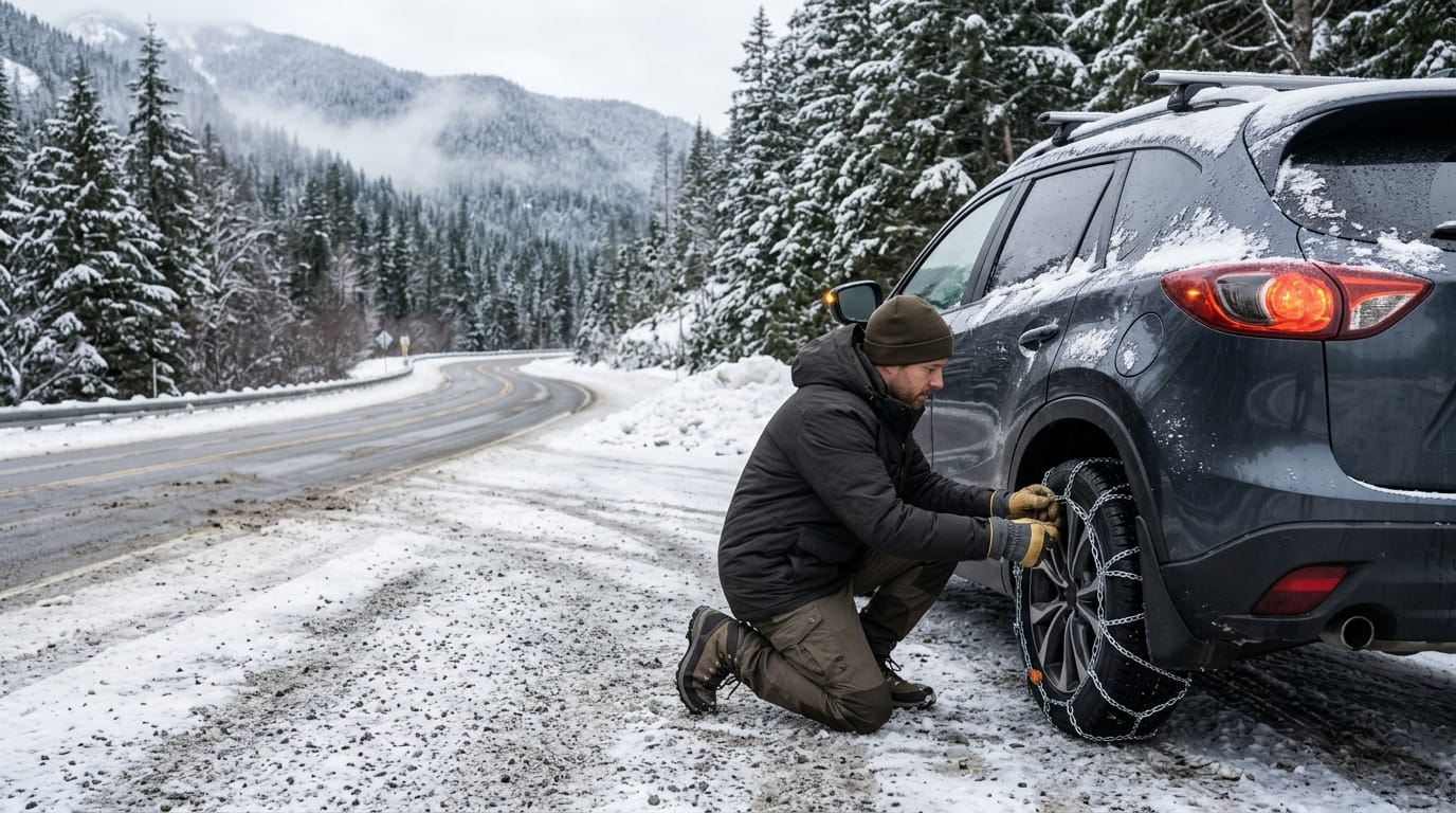
Drivers should also carry appropriate traction devices and understand how to install them safely.
Understand chain controls, emergency supplies, and route planning
California uses several levels of chain restrictions when winter weather affects highways.
Under R-1 controls, certain vehicles with qualifying snow tires may travel without installing chains. Other vehicles must use appropriate traction devices.
R-2 controls require chains on most vehicles. Qualifying four-wheel-drive vehicles with snow tires on all four wheels may receive an installation exemption, but they must still carry suitable traction devices.
R-3 controls require chains on every vehicle without exception. Officials often close highways before conditions become severe enough to require R-3.
Drivers must follow the signs and instructions that apply at the checkpoint, even when older online reports show different conditions.
Does a four-wheel-drive vehicle still need snow chains?
Yes. Caltrans explains that qualifying four-wheel-drive vehicles must carry appropriate traction devices when entering chain-control areas, even if current conditions exempt them from installation.
Snow tires alone do not eliminate the requirement to carry chains in those areas.
Before purchasing or installing chains, check your vehicle manufacturer’s recommendations. Some vehicles have limited tire clearance or require specific traction devices.
Practice installing the correct equipment before encountering snow. A safe practice session at home is easier than learning beside a busy mountain highway.
For additional preparation, read our Alpine County Winter Travel Guide.
Prepare an emergency kit that includes drinking water, nonperishable food, warm clothing, blankets, a flashlight, necessary medications, and a phone charging option.
Caltrans also recommends useful winter items such as an ice scraper, shovel, and suitable traction supplies.
Keep enough fuel or battery range to handle a delay or an unexpected detour. Mountain travel may require more energy than expected, particularly when temperatures drop.
Before departing, download maps that work without internet access. Mobile service can become unreliable along remote stretches of highway.
Check the forecast for your exact destination and elevation. Conditions at a mountain pass can differ from those in a nearby town.
For current state highway information, consult Caltrans QuickMap. The map provides information about road closures, chain controls, traffic incidents, and other travel conditions.
Travelers can also call the Caltrans road information line at 800-427-7623.
Check conditions before beginning the drive and again when making important route decisions.
If a highway closes, do not bypass barriers or follow unauthorized tracks around the closure. Snow-covered routes can hide hazards that drivers cannot see from the road.
Instead, choose an officially open alternative or delay the trip until conditions improve.
When driving on wet, snowy, or icy pavement, reduce speed and increase following distance.
Avoid sudden steering movements, hard acceleration, and unnecessary braking. Give yourself additional time to respond to changing conditions.
Watch for shaded road sections. They may remain icy even after exposed pavement has dried.
Never stop in a traffic lane to install chains or photograph the scenery. Use designated or otherwise legal and safe stopping locations.
Caltrans advises motorists to pull completely off the traveled roadway before installing traction devices.
Travel planning should also include realistic arrival times. Autumn days become shorter, and a late start can leave drivers navigating unfamiliar mountain roads after sunset.
Whenever possible, finish the most remote part of your drive during daylight.
If you plan to visit Alpine County for snow recreation, confirm parking rules separately from highway access.
California’s Sno-Park program provides designated winter recreation parking at participating locations. Some areas require permits during the applicable season.
Our winter travel guide discusses how to plan snow activities without relying on unsafe roadside parking.
Visitors should also respect the communities they travel through. Avoid blocking driveways, emergency access routes, or snow-removal operations.
When storms approach, snowplows and maintenance crews need space to work safely.
Give road equipment plenty of room and avoid passing unless conditions and instructions clearly allow it.
Families traveling with children should bring extra layers, snacks, and basic necessities in case a journey takes longer than expected.
Travelers with pets should also prepare for cold temperatures and possible delays.
Finally, remember that Alpine County offers meaningful experiences beyond crossing a famous mountain pass.
If weather changes your plans, a shorter visit to an accessible community may still provide an enjoyable trip.
However, always confirm that connecting roads, services, and planned activities remain available.
Alpine County fall road closures in 2026 should encourage smarter planning, not discourage travel.
Autumn brings beautiful scenery to the Sierra Nevada, but high-elevation roads require attention to weather, official restrictions, and personal preparedness.
Check current road conditions, carry suitable equipment, and keep alternative plans available.
With a flexible itinerary and reliable information, visitors can enjoy Alpine County’s mountain landscapes while making safer travel decisions.
Travel disclaimer: Road conditions and access restrictions can change rapidly. This guide does not provide live closure information. Always follow the latest instructions from Caltrans, Alpine County, and other responsible authorities.