
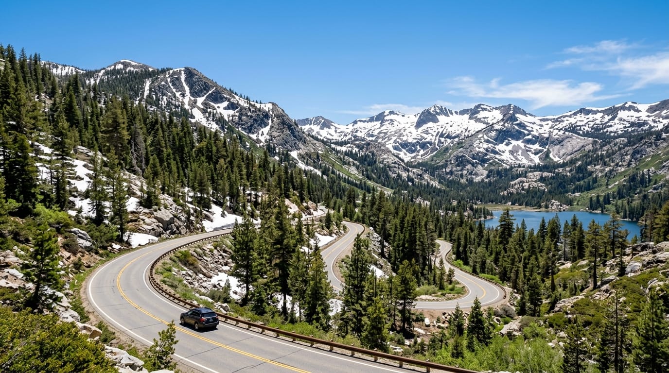
The Ebbetts Pass Scenic Drive is one of the best ways to experience Alpine County in 2026. It offers a classic Sierra road trip with narrow mountain lanes, forest views, alpine lakes, quiet pullouts, and access to some of the county’s most memorable outdoor places. After a winter closure, the reopening of State Route 4 gives travelers another reason to plan a spring or summer route through Bear Valley, Lake Alpine, and the high country around Ebbetts Pass.
This drive is not a fast highway route. That is the point. Ebbetts Pass rewards patient travelers who want scenery, fresh air, slower roads, and real mountain atmosphere. It works well for couples, families, photographers, hikers, cyclists, anglers, and road-trippers who want a quieter Sierra experience. If your goal is to rush from one side of the mountains to the other, this route may feel slow. If your goal is to enjoy Alpine County, it is one of the best drives to plan.
This guide connects with other Alpine County travel topics, including Monitor Pass spring driving, Alpine County outdoor recreation, and Alpine County fishing opener planning. Together, these guides help visitors build safer and smarter mountain trips.
Why Ebbetts Pass Scenic Drive Is Trending in 2026
The Ebbetts Pass Scenic Drive is especially relevant this season because State Route 4 reopened for the 2026 season on May 6. Caltrans reported that crews cleared snow, debris, downed trees, and narrow high-country corridors before reopening the route. That timing gives travelers earlier access to recreation, scenery, fishing areas, hiking access, and Lake Alpine stops before the busiest summer period.
Early-season access creates excitement, but it also requires good planning. Sierra roads can change quickly. A warm afternoon does not always mean a safe morning drive. Cold overnight temperatures can leave icy spots. Spring storms can return. Rocks, branches, and runoff can appear after snowmelt. Drivers should treat the route as a mountain pass, not a regular county road.
The drive also fits current travel behavior. Many visitors want quiet outdoor destinations instead of crowded tourist corridors. Alpine County delivers that feeling, but the county’s size and mountain setting mean visitors must plan responsibly. Good travel habits protect the landscape and help small communities handle seasonal traffic.
What changed with the 2026 reopening?
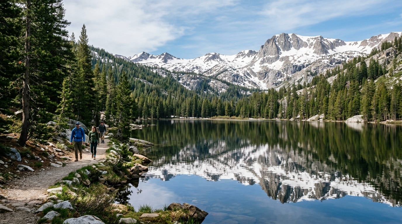
The main change is seasonal access. When Ebbetts Pass opens, travelers can again connect through one of the Sierra’s most scenic road corridors. The route offers access to Lake Alpine, trailheads, camp areas, picnic stops, fishing locations, cycling routes, and high-elevation viewpoints. It also supports local travel between mountain communities and outdoor recreation areas.
The reopening does not mean every side route, trail, campground, or lake access point is fully ready. Snow may remain in shaded areas. Some facilities may open later than the highway. Travelers should check conditions before leaving home and remain flexible during the first part of the season.
Early-season road conditions need respect
Ebbetts Pass is beautiful because it feels rugged. That same rugged quality creates risk. The road includes narrow sections, curves, elevation changes, limited shoulders, and areas where drivers must pay attention. Early in the season, icy patches and debris can make the route more challenging.
Use slower speeds than you would on a wider highway. Watch for cyclists, motorcycles, wildlife, road crews, and vehicles stopping for photos. Keep both hands on the wheel. Do not let passengers pressure the driver to rush through scenic sections.
Where to start the drive
Many visitors begin from the Bear Valley and Lake Alpine side. That works well if you want an easy focus on alpine scenery, water views, short walks, and nearby recreation. Others approach from the east, using the route as part of a broader Sierra crossing. Either way, the best plan is to start early and avoid driving unfamiliar narrow mountain roads after dark.
If you are building a full Alpine County trip, consider pairing Ebbetts Pass with Markleeville, Woodfords, Hope Valley, or Monitor Pass. Just keep the schedule realistic. Mountain miles take longer than map apps suggest.
Best stops along the Ebbetts Pass route
Lake Alpine is one of the strongest stops for most visitors. It offers classic Sierra scenery with water, pine forest, shoreline views, and outdoor access. Depending on seasonal conditions, visitors may enjoy walking, fishing, kayaking, paddleboarding, picnicking, photography, or simply resting near the lake.
Bear Valley can also work as a useful base or stop. It gives travelers access to food, services, lodging options, and recreation. If you are planning a longer stay, this area makes sense because it keeps you close to Lake Alpine and the high-country route.
Pullouts and overlooks are part of the experience, but use them carefully. Stop only where it is safe and legal. Do not block narrow lanes. Do not park on fragile vegetation. Do not stop around blind curves. Good scenery is never worth creating a road hazard.
Lake Alpine is the easiest highlight
For many travelers, Lake Alpine will be the most practical highlight of the Ebbetts Pass Scenic Drive. It gives visitors a clear destination without requiring a difficult hike. It also works for mixed groups, including families with kids, older travelers, photographers, and people who simply want a peaceful mountain stop.
If you plan to fish, check current regulations and carry the right license. If you plan to paddle, watch weather and wind. Alpine lakes can feel calm in the morning and rougher later in the day. Bring layers, water, sun protection, and patience.
How to Plan a Safer Ebbetts Pass Scenic Drive
A good trip starts before the car leaves the driveway. Check official road conditions, weather, fuel, food, and timing. Do not assume services will appear exactly when you need them. Rural mountain travel works best when you carry basics and plan extra time.
Caltrans recommends checking current highway information through QuickMap or the road condition hotline before traveling. The official Caltrans Ebbetts Pass reopening update is a useful starting point because it explains the 2026 reopening and reminds motorists to watch for early-season hazards.
Pack like you are visiting the mountains, not a city park. Bring water, snacks, a jacket, sunscreen, sunglasses, a paper map or downloaded map, phone charger, basic first aid supplies, and enough fuel. Cell service may not be reliable in all areas. A small amount of preparation can prevent a minor delay from becoming a stressful problem.
Simple one-day itinerary for visitors
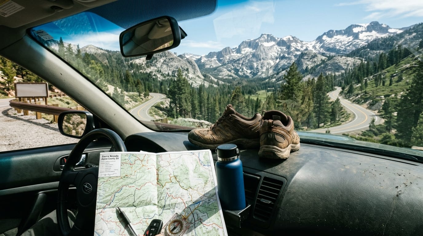
Start in the morning and aim for Bear Valley or Lake Alpine first. Spend time near the lake, take photos, enjoy a short walk, and check conditions before continuing deeper into the pass. If the road feels narrow or weather changes, turn around. A safe partial drive is better than forcing a full route.
After Lake Alpine, continue only if your group feels comfortable with mountain driving. Keep stops short and safe. Let faster vehicles pass where legal. Watch for cyclists, especially on weekends and event periods. Ebbetts Pass is a known cycling route, and drivers need to share the road carefully.
End the day with a relaxed meal or town stop rather than a rushed night drive. If you want to expand the trip, add another day for fishing, hiking, or a visit toward Markleeville and Woodfords. Alpine County rewards slower travel.
Visitors who want more seasonal ideas can read the site’s guide to Alpine County spring cleanup and fire-safe planning. It is not only for residents. It helps visitors understand why clean recreation, safe parking, and respect for local communities matter during high-use seasons.
Check conditions before you go
Before driving, check the latest road and weather conditions. Mountain passes can change fast. A road that opened yesterday can still have cold mornings, maintenance work, or weather impacts. If conditions look questionable, delay the trip or choose a lower-elevation alternative.
The Ebbetts Pass Scenic Drive is worth planning because it gives travelers a strong Alpine County experience in one route. You can enjoy Lake Alpine, forest scenery, high-country roads, quiet stops, and the feeling of crossing a real Sierra pass. The drive also helps visitors understand why Alpine County is built around seasonal access, outdoor recreation, and respect for mountain conditions.
The best approach is simple. Start early. Drive slowly. Check official updates. Pack basic supplies. Stop only in safe places. Support local businesses when possible. Leave the route cleaner than you found it. With that mindset, Ebbetts Pass becomes more than a scenic road. It becomes one of the clearest ways to experience Alpine County in 2026.